Bigger and faster than anyone
Fully Automated Mapping (Imaging) Covers Huge Areas in Record Time with Planes.
Fully Automated AI then understands what's there and what's changing.
Give us 24 hours, and we will map a country and analyze the objects and changes within.
Bigger and Faster than Anyone!
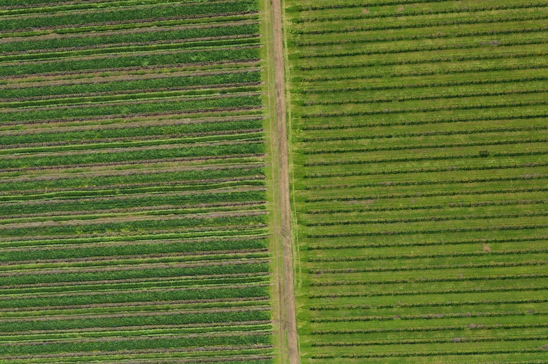
Our clients span a range from farmers to municipalities.
24
2531
10421
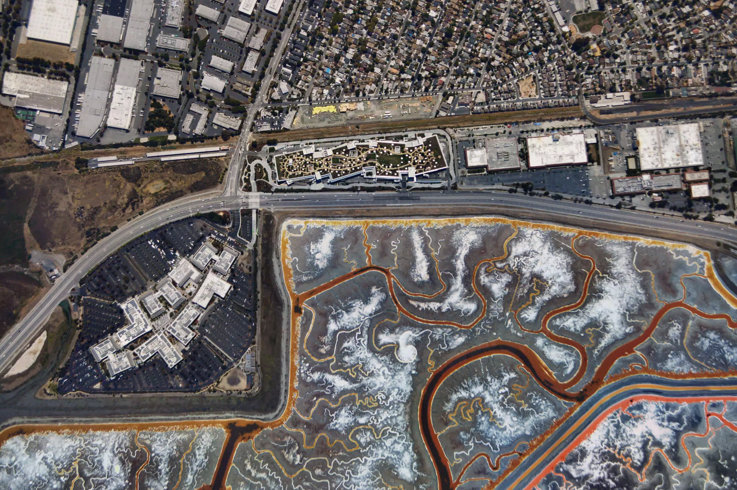
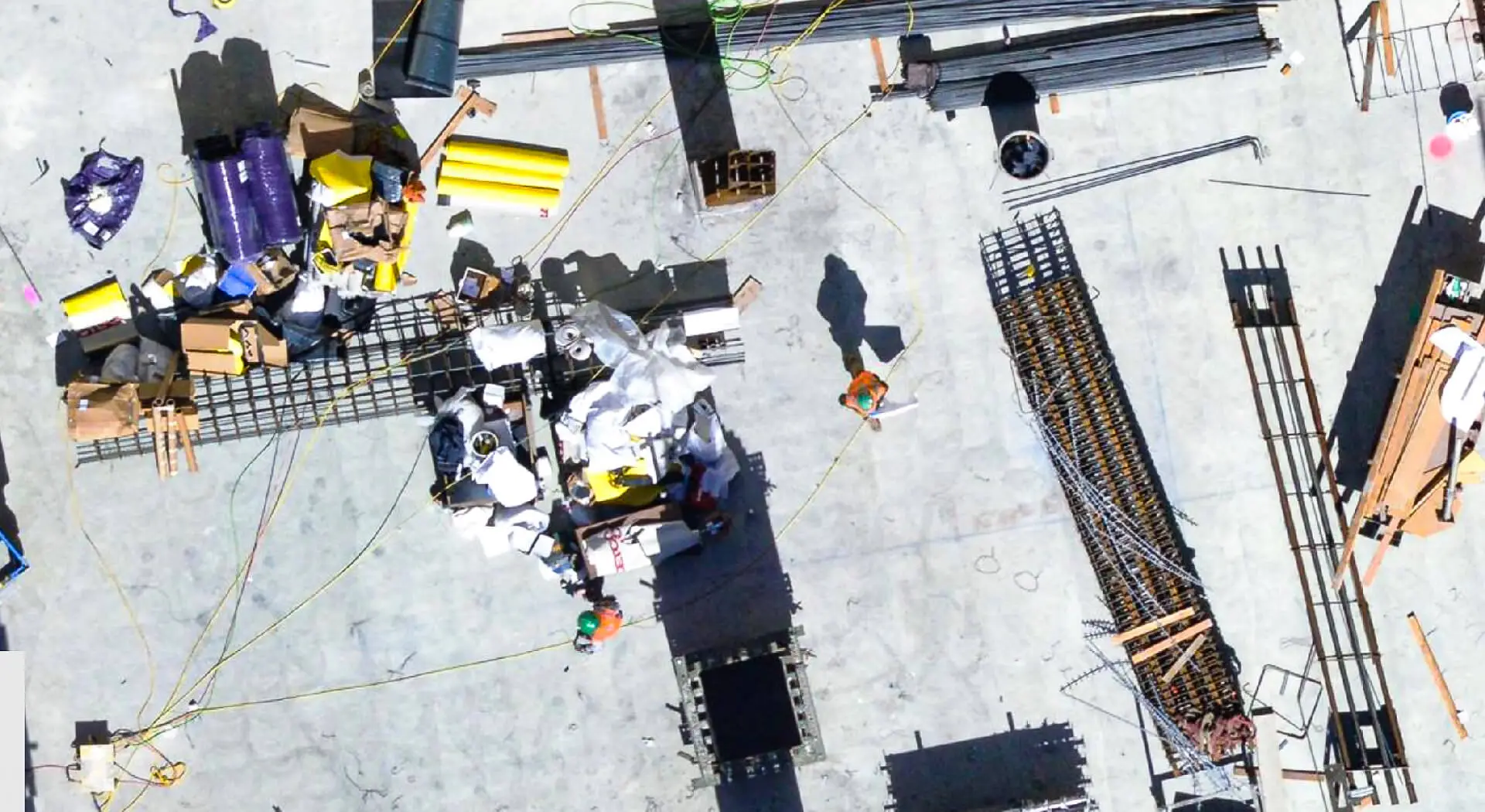
Super Zoom
"When they go low, we go high" ... in resolution
Atlas captures less than 1cm resolution per pixel.
Image huge areas, and track footprints in the snow, lines in the ground and more.
Timelapse
See and track all the changes in your maps with daily updates
Cover the same areas in succession to track changes over time.
Weekly, Daily, or even minute by minute!
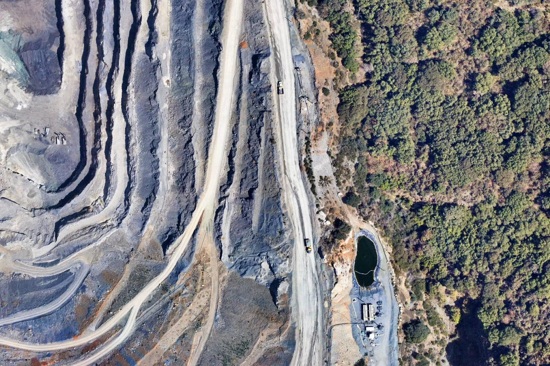
Change Detection
Automatically track and visualize changes with the power of machine learning.
Atlas Imaging uses the latest advances in software algorithms and hardware tech
to deliver insights of your land overnight.
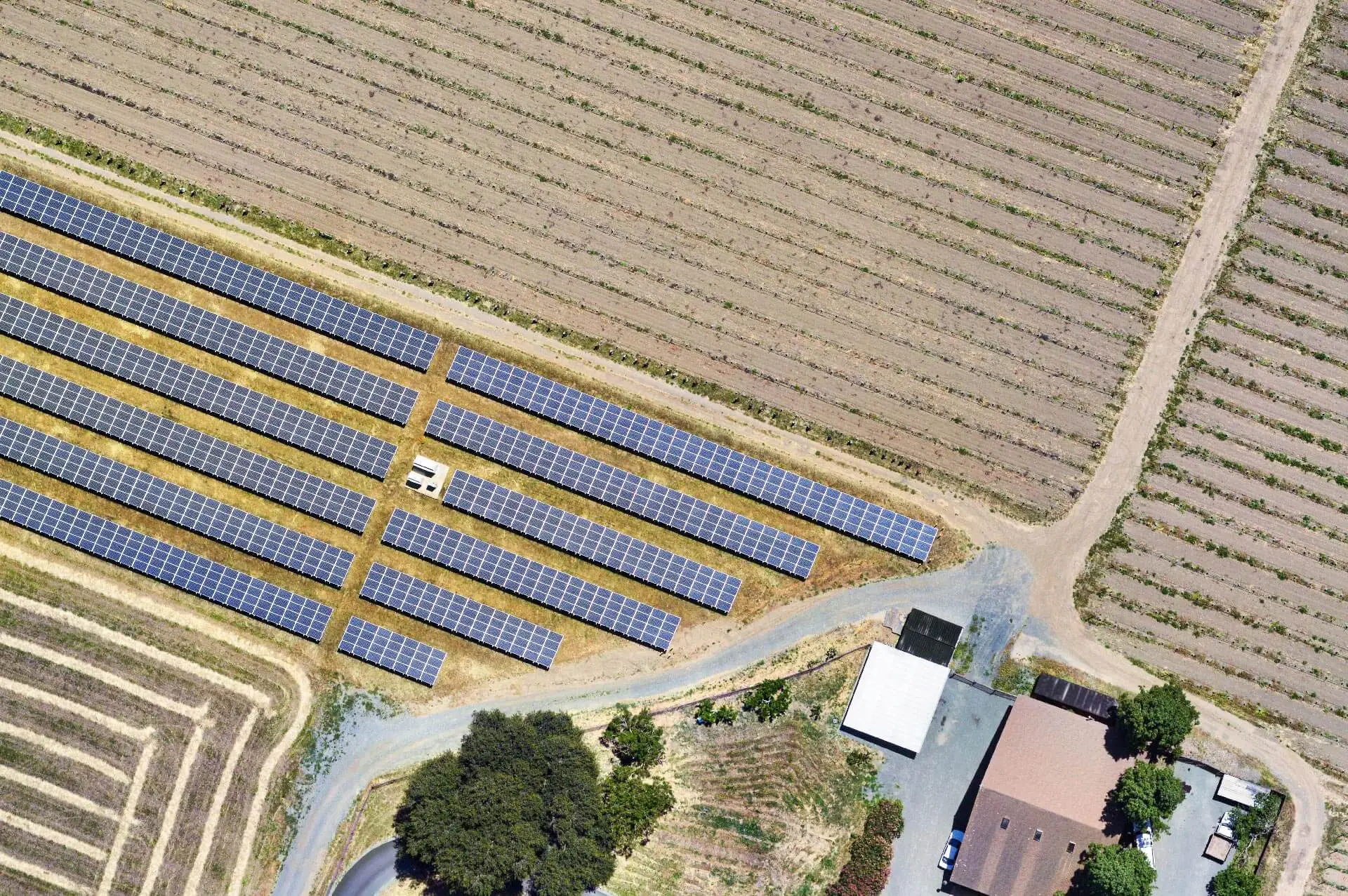
Feature/Object Detection
& Semantic Segmentation
Automatically identify dozens of object types, like cars or planes, people or swimming pools.
Train your system to identify even more object classes, then search your index.
Super Zoom
"When they go low, we go high" ... in resolution
Atlas captures less than 1cm resolution per pixel.
Image huge areas, and track footprints in the snow, lines in the ground and more.
Timelapse
See and track all the changes in your maps with daily updates
Cover the same areas in succession to track changes over time.
Weekly, Daily, or even minute by minute!
Change Detection
Automatically track and visualize changes with the power of machine learning.
Atlas Imaging uses the latest advances in software algorithms and hardware tech
to deliver insights of your land overnight.
Feature/Object Detection
& Semantic Segmentation
Automatically identify dozens of object types, like cars or planes, people or swimming pools.
Train your system to identify even more object classes, then search your index.

Contact us
Reach out for an invitation and full demo suit through the form.